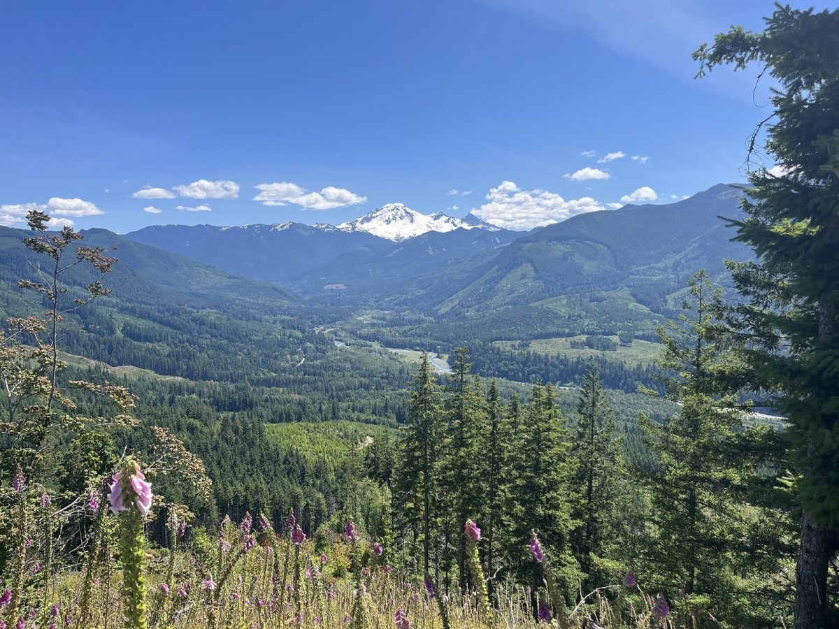
The Mt. Baker Highway (SR 542), Mile by Mile
From Bellingham's Exit 255 to Artist Point at 5,075 feet: what sits at every milepost on SR 542 — fuel, food, trailheads, and where the pavement ends.
Read itThe journal
From Bellingham's Exit 255 to Artist Point at 5,075 feet: what sits at every milepost on SR 542 — fuel, food, trailheads, and where the pavement ends.
Read it
The Sumas crossing, the 32-mile run up SR 542, and the CBSA duty-free rule that catches day-trippers — what a BC driver needs before heading to Baker.
Seattle to Mt. Baker is about 3 hours by car via I-5 and SR 542. Here's the route, where to stop, and why an overnight beats a same-day trip.
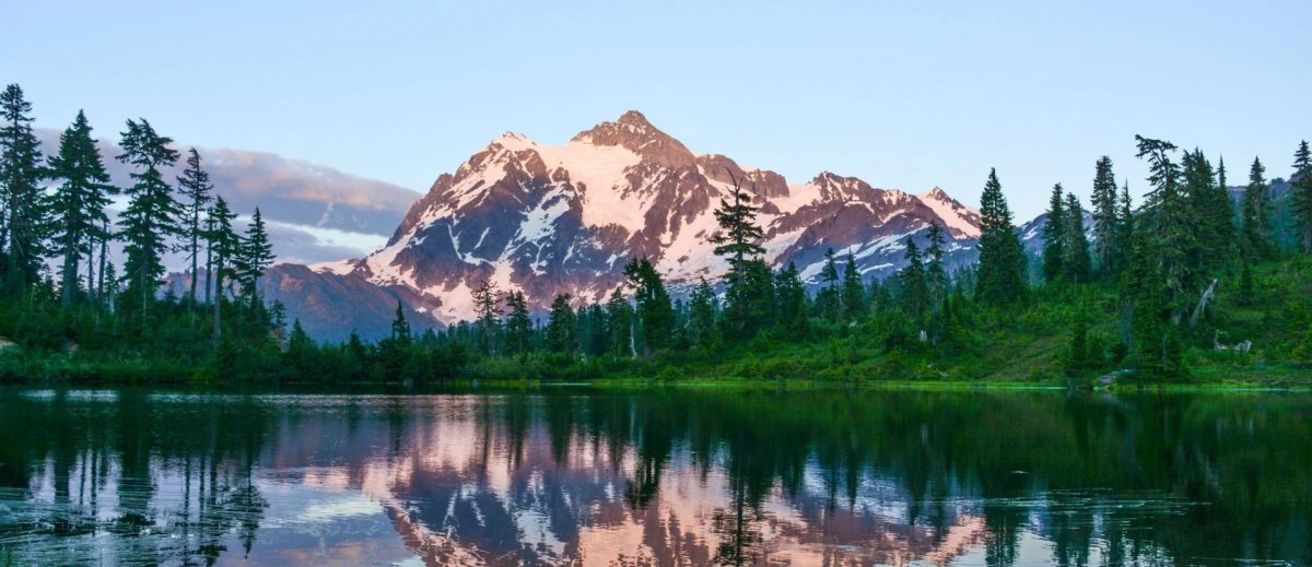
Mt. Baker Ski Area is 52 miles from Bellingham via SR 542, about 90 minutes. Mile-by-mile stops, where to fuel up, and what changes once winter hits.
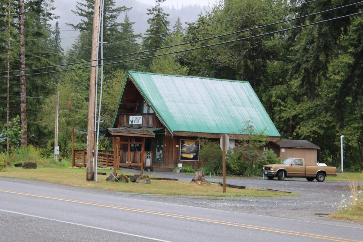
Mt. Baker and Mt. Shuksan are two different mountains — and the famous Picture Lake reflection shot is Shuksan, not Baker. Here's how to tell them apart.
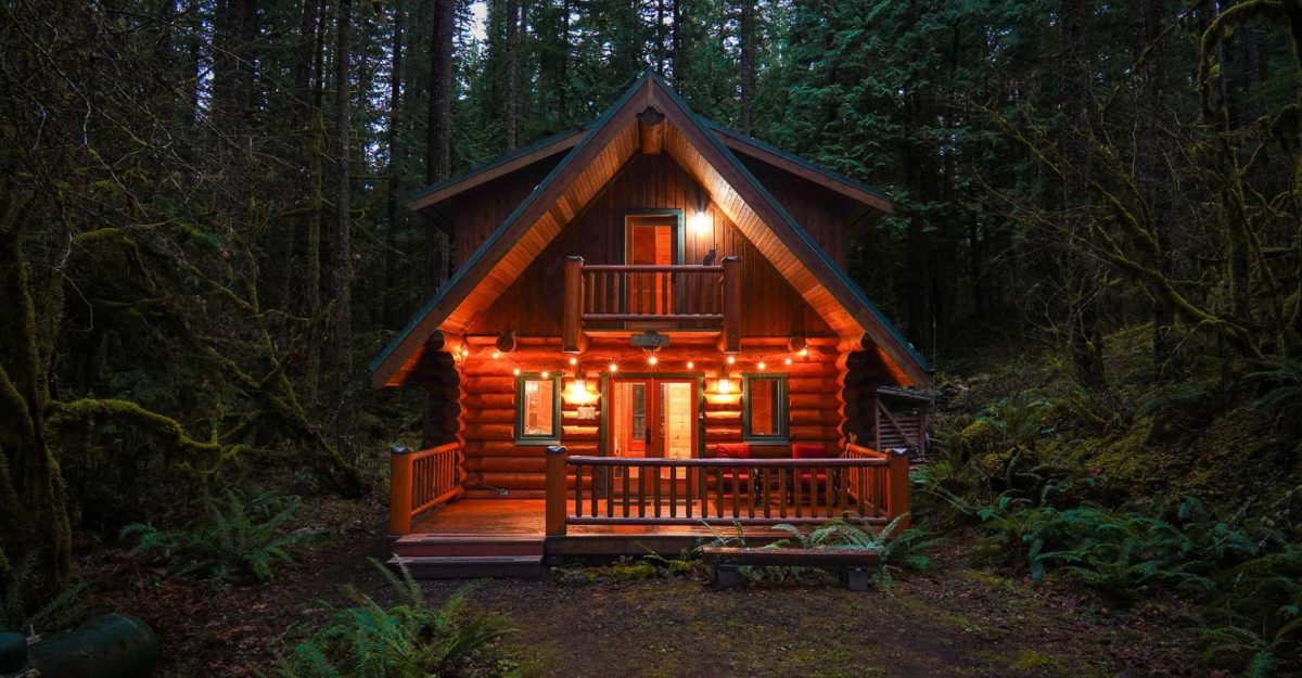
Yes — Mt. Baker is an active stratovolcano in Washington's Cascade Range. What that means, what's monitored, and where to find current USGS status.
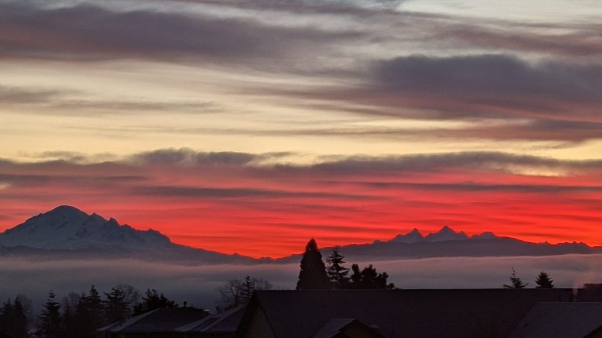
Mt. Baker's fall color is huckleberry red and vine maple, not larch. Here's when it peaks, which trails empty out, and the foraging rules that apply.
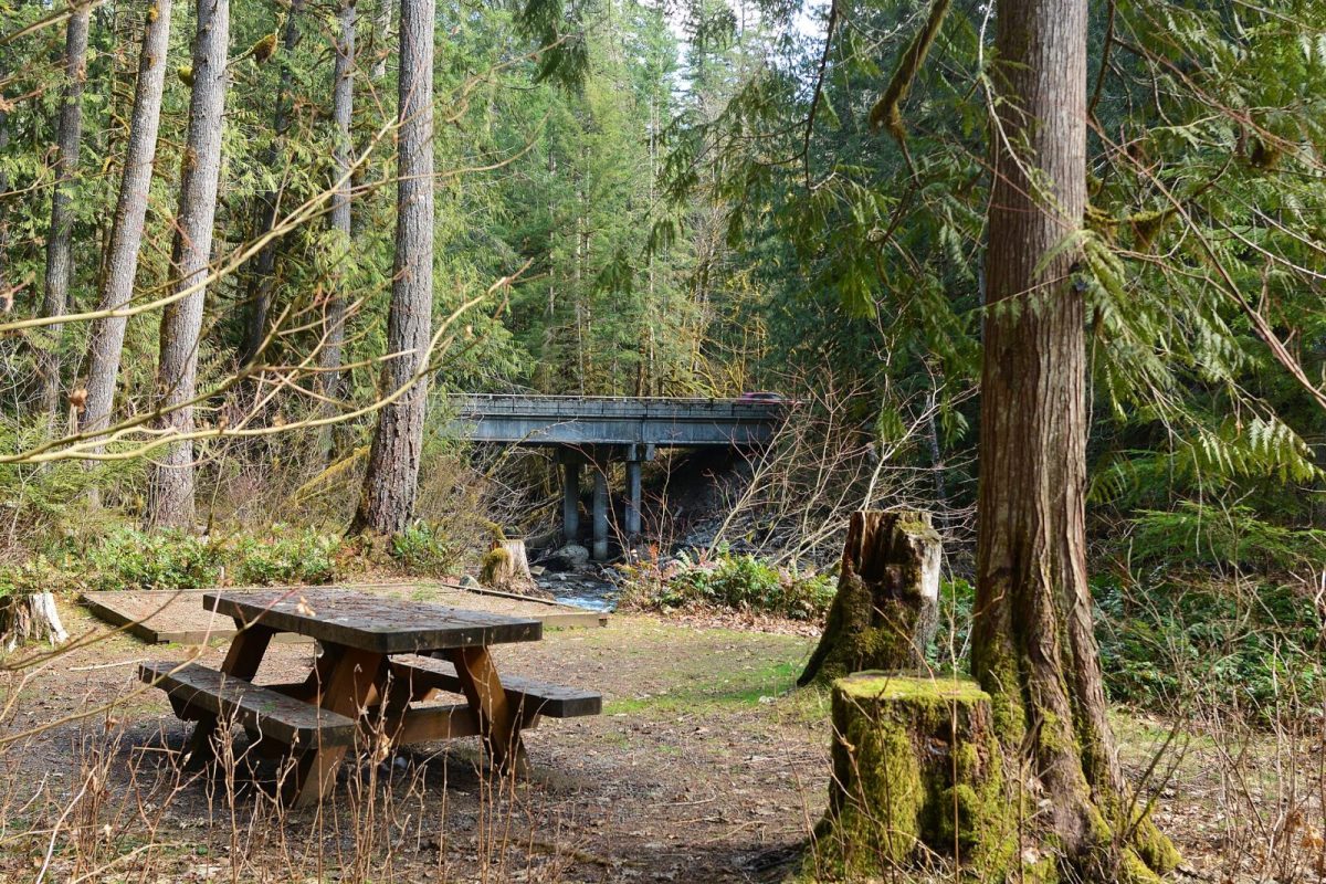
Maple Falls cabins near Silver Lake Park put you by a 157-acre stocked lake with a boat launch and swimming. Here's what's confirmed, and what to ask.
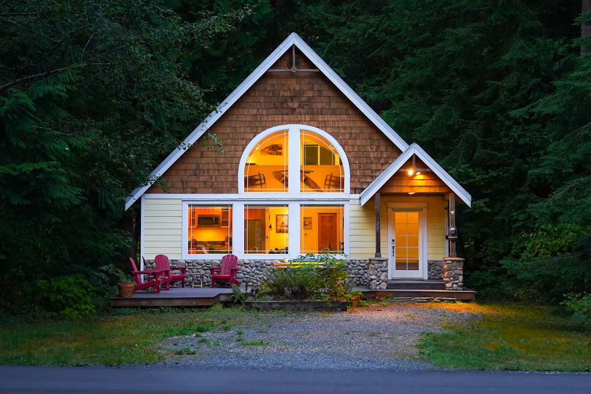
Snowater is condos, not cabins: a clubhouse pool, the Nooksack River on three sides, and about a 30-minute drive to the ski area. Here's what to know.
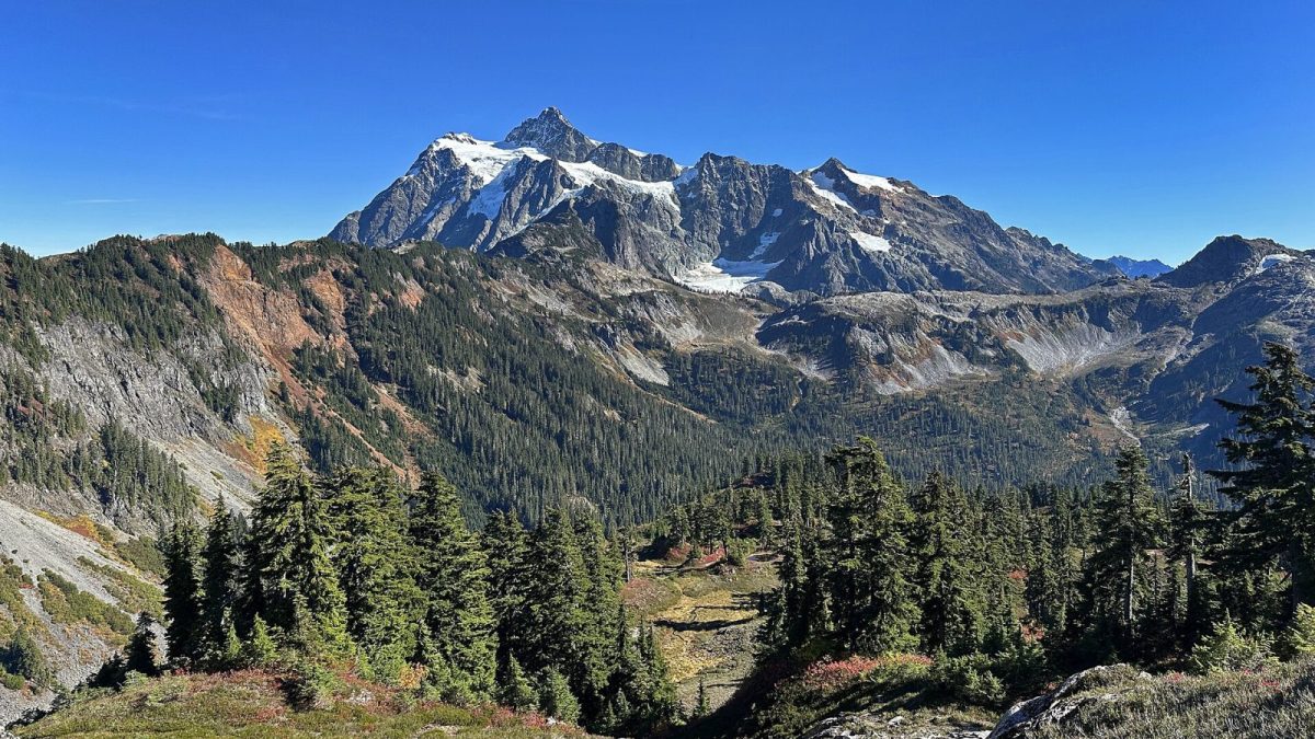
Snowline's pool, tennis court, fishing pond and trails sit in Glacier, WA, about 17 miles from the ski area. What's confirmed, and what a stay is like.
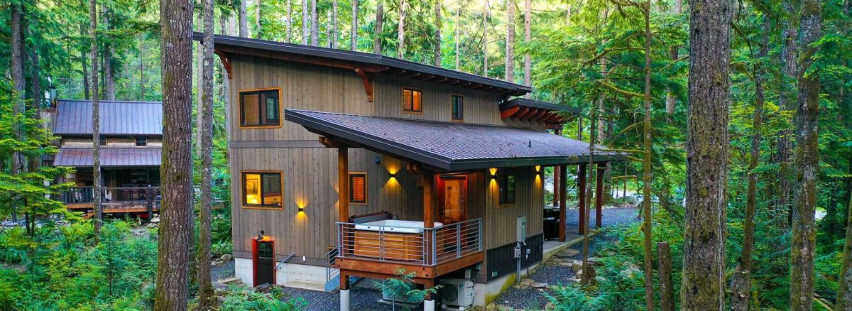
Glacier Springs sits about 30 miles east of Bellingham. Here's what's actually confirmed about the community, what isn't, and what to ask before booking.
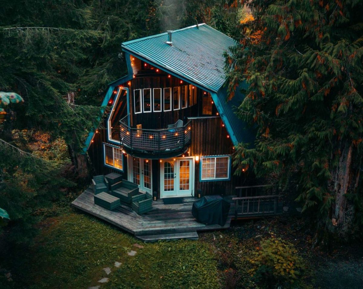
Mt. Baker Rim's clubhouse and 100,000-gallon pool are the best-documented amenities of any Mt. Baker cabin community. Hours, access and what's nearby.
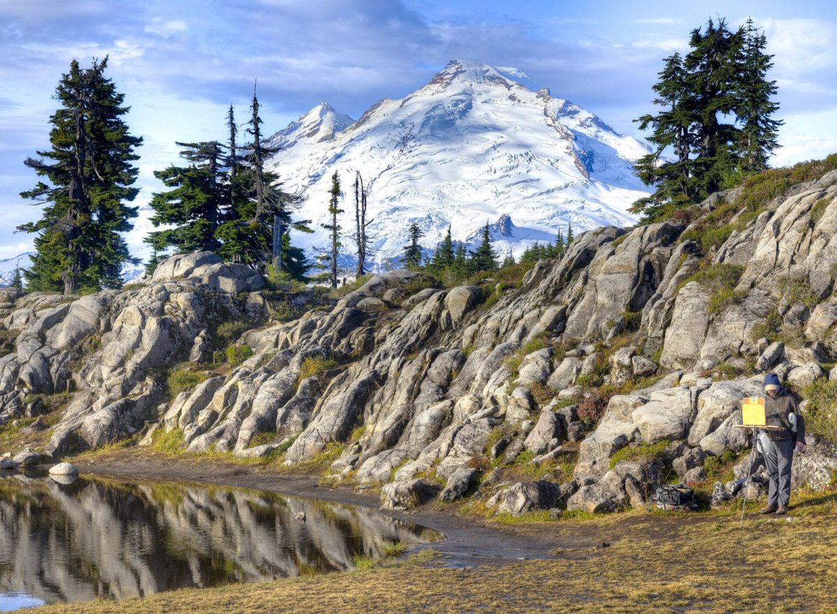
Mt. Baker Rim, Glacier Springs, Snowline, Snowater and Silver Lake compared on amenities, property type, setting and drive time to the ski area.
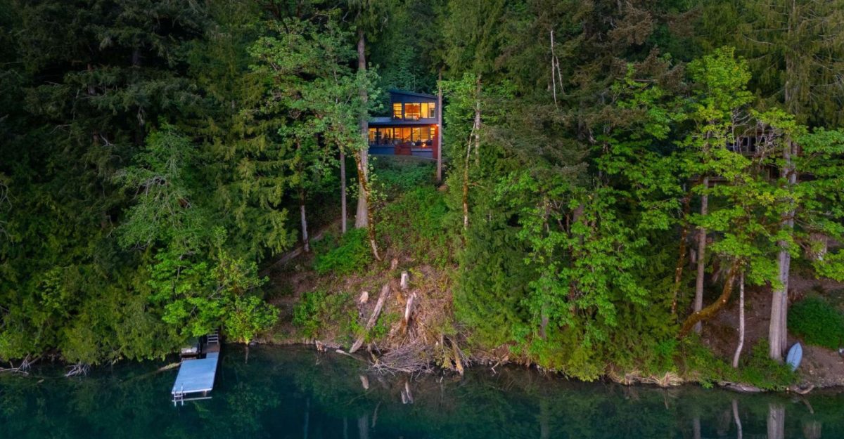
Glacier is 17 miles from the ski area with the best restaurants; Maple Falls has the last fuel stop and sits closer to Silver Lake. The real difference.
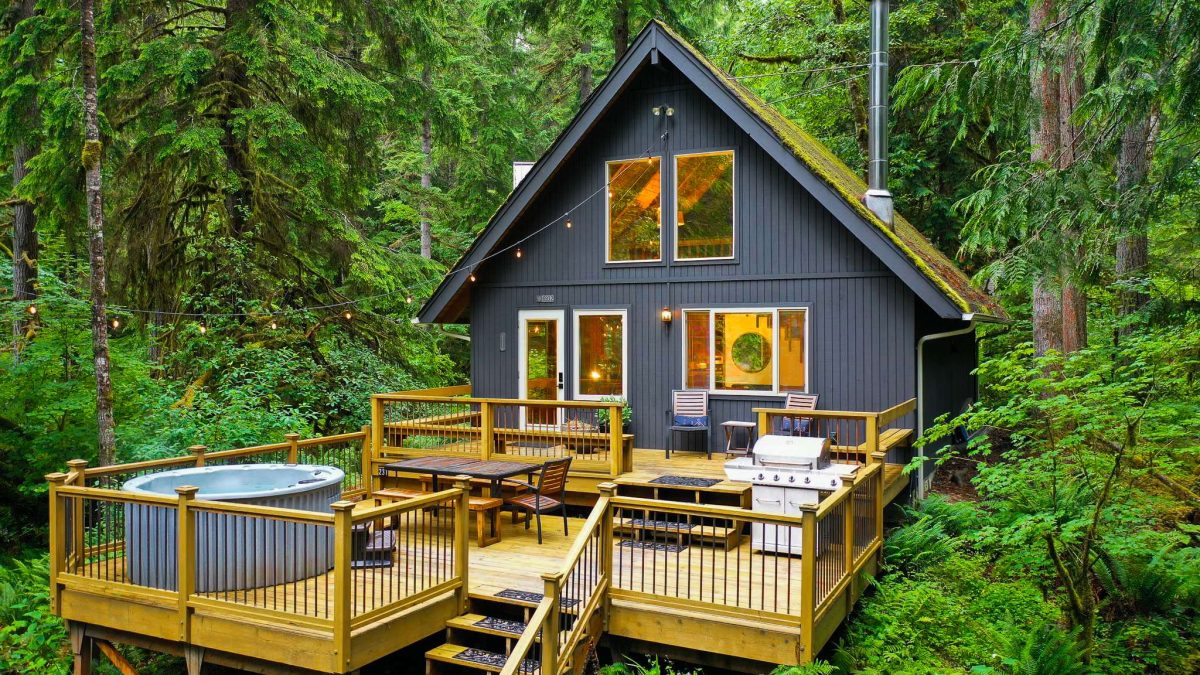
What's actually open near Mt. Baker changes by season. Here's what to do year-round, from the December lift lines to the October larch-free fall color.
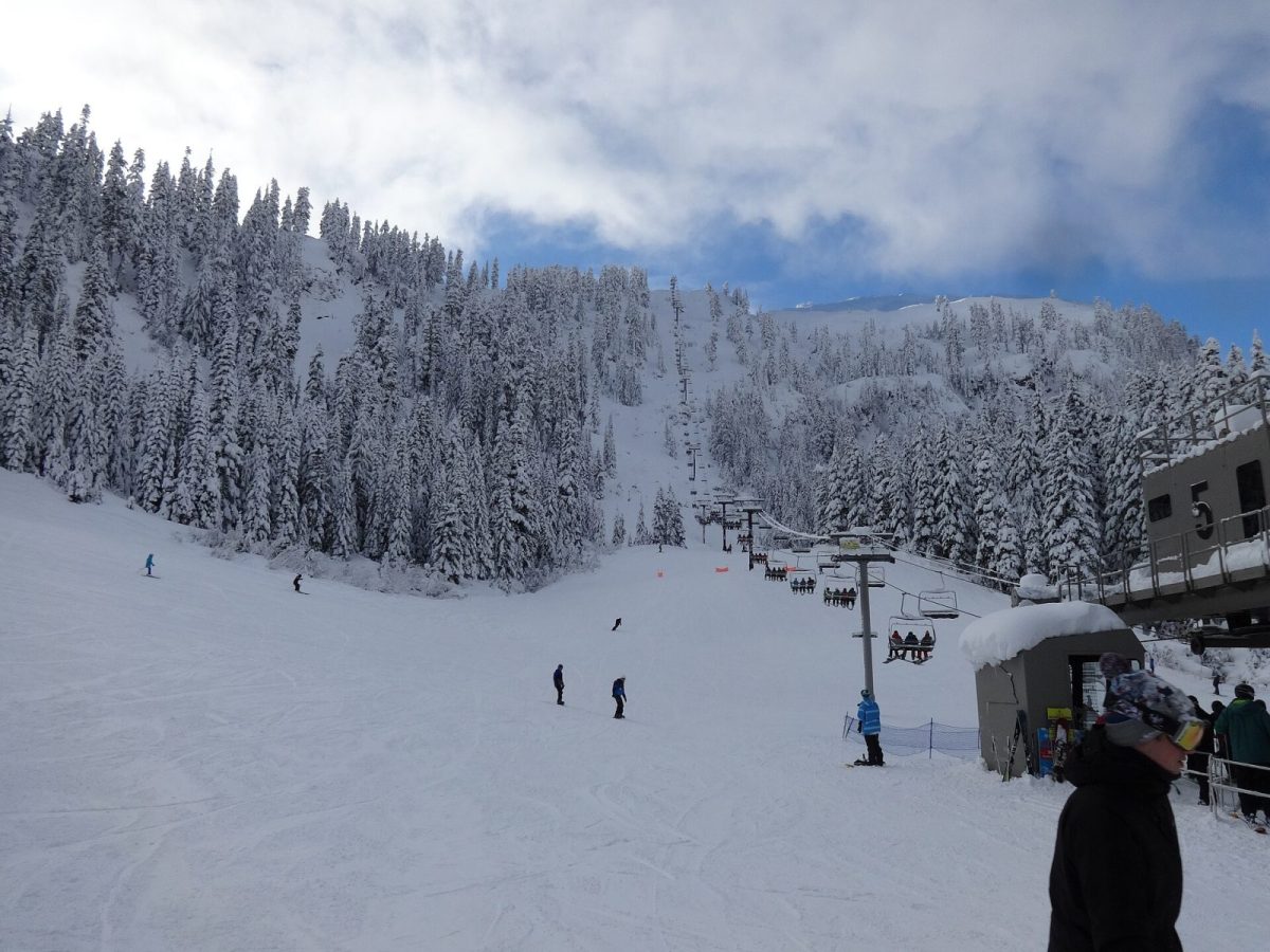
No lodging sits at the ski area itself. Here's how the five cabin communities, Glacier, Maple Falls and Bellingham compare for a Mt. Baker trip.
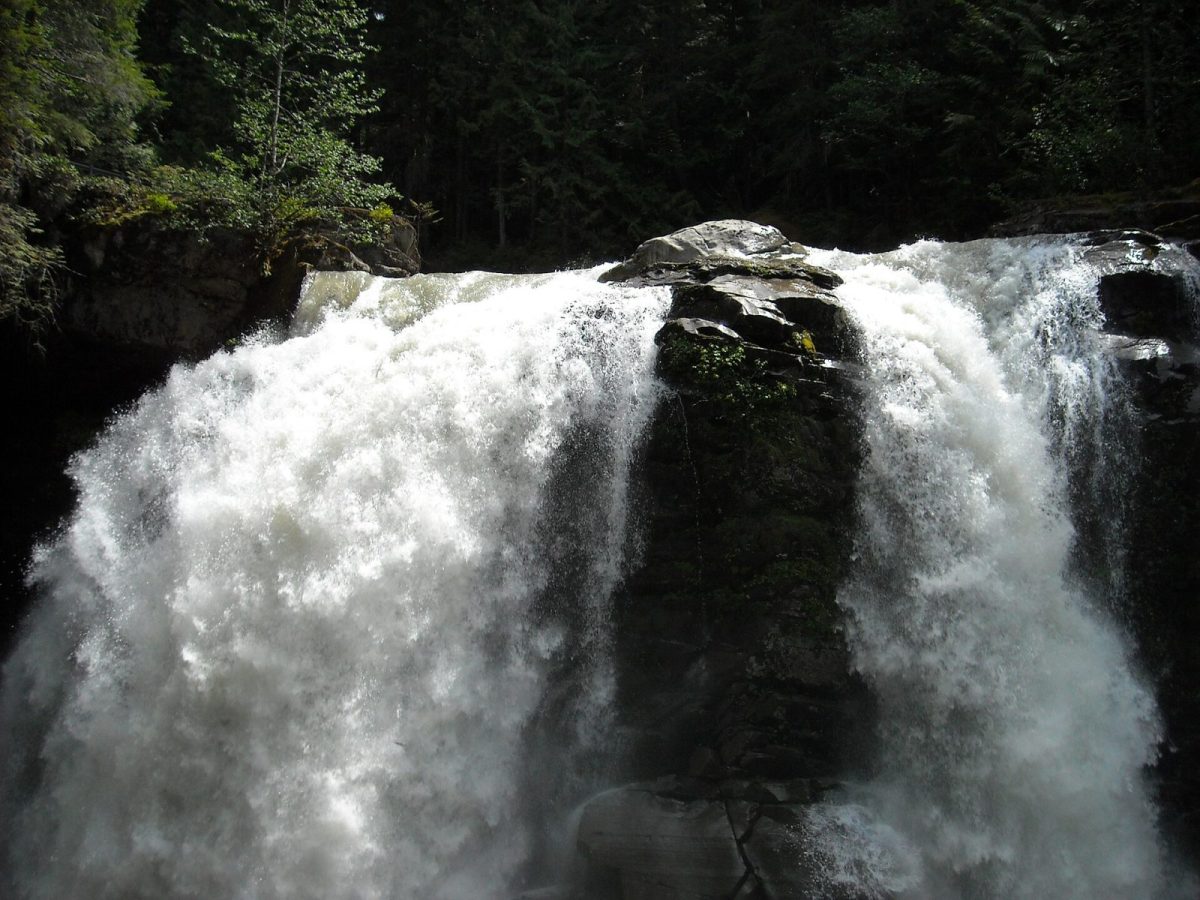
State Route 542 is the only road in, it climbs from sea level to over 5,000 feet, and the rules change with the weather. How to read the road before you leave, and what to carry.
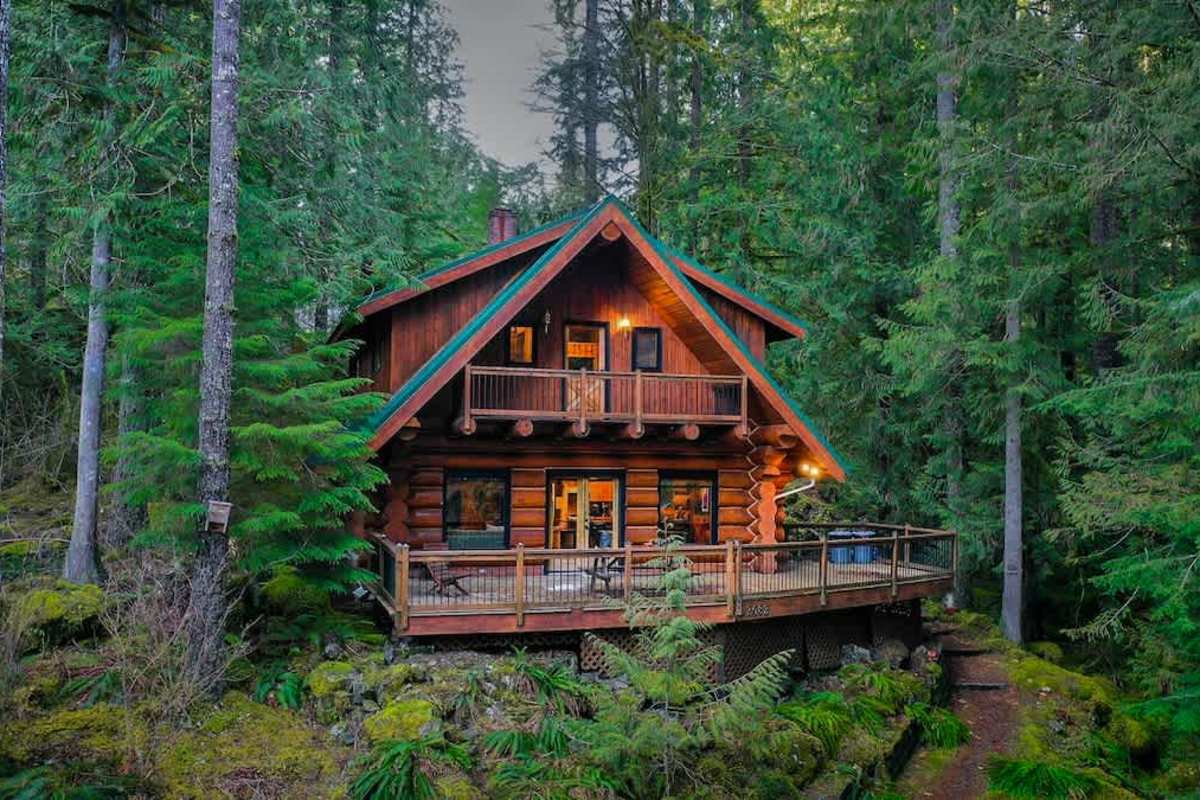
Mt. Baker Lodging closed April 9, 2026. Here's what guests with existing reservations and owners with managed cabins should do next, and where to book.
No hotels, no village, no ski-in ski-out, and the world record for snowfall in a single season. What a first visit to the mountain at the end of the road actually looks like.
Glacier is the last town before the mountain and it has a short list of places to eat. Know the list, and the hours, before you drive up with a hungry car.
Private or community, on the deck or down a path, and what "hot tub" means when it is ten degrees out. The questions to ask before you book, and the things a cabin does not come with.
The highway that carries skiers in winter carries hikers in summer. Seven walks from a paved lakeside loop to a full day above the treeline, with the passes and the road closures you need to know about.
Gated forest lots, a riverside condominium community, chalets with a shared pool, or a lakefront dock: the communities along the highway are a few miles apart and very different places to stay.