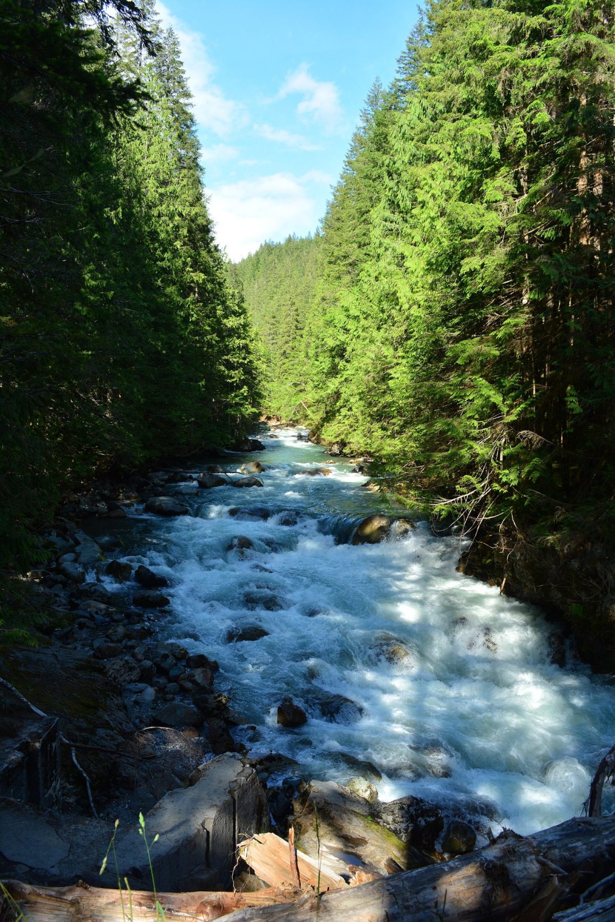
Is There Cell Service Near Mt. Baker?
Service holds through the lower corridor and degrades past Glacier. Where it actually drops, what to download first, and what the cabins provide.
The journal
Service holds through the lower corridor and degrades past Glacier. Where it actually drops, what to download first, and what the cabins provide.
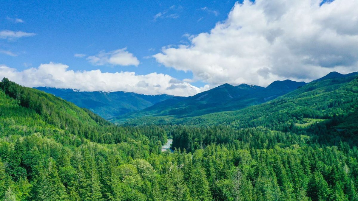
SR 542 has closed for weeks from storm damage before. Here's where to check current conditions, what the traction-tire levels mean, and a real case study.
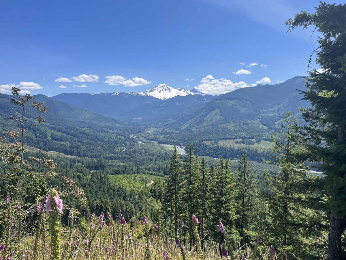
From Bellingham's Exit 255 to Artist Point at 5,075 feet: what sits at every milepost on SR 542 — fuel, food, trailheads, and where the pavement ends.
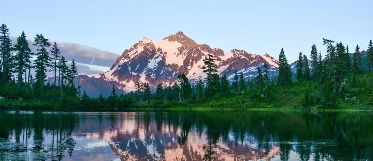
The Sumas crossing, the 32-mile run up SR 542, and the CBSA duty-free rule that catches day-trippers — what a BC driver needs before heading to Baker.
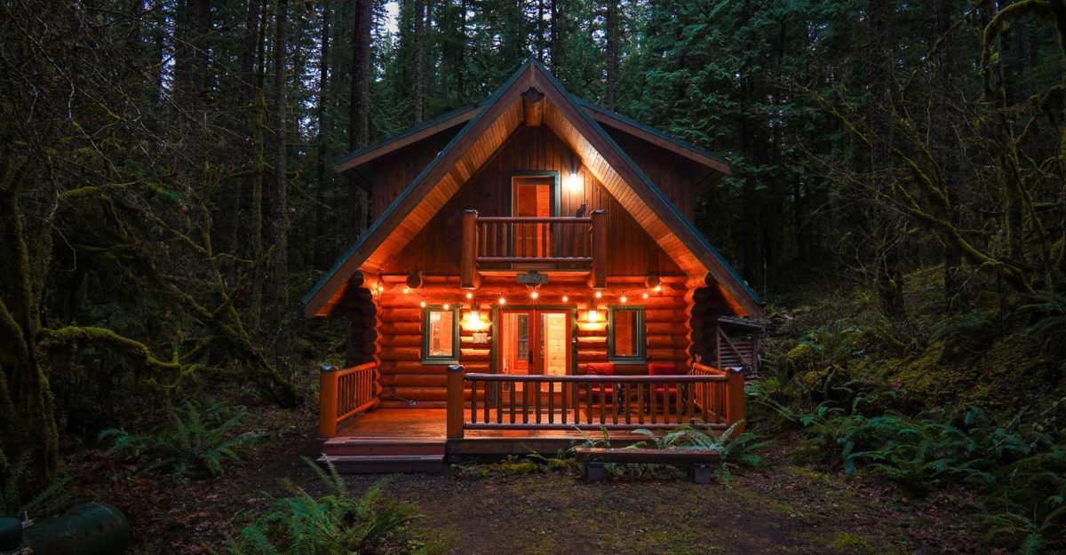
Seattle to Mt. Baker is about 3 hours by car via I-5 and SR 542. Here's the route, where to stop, and why an overnight beats a same-day trip.
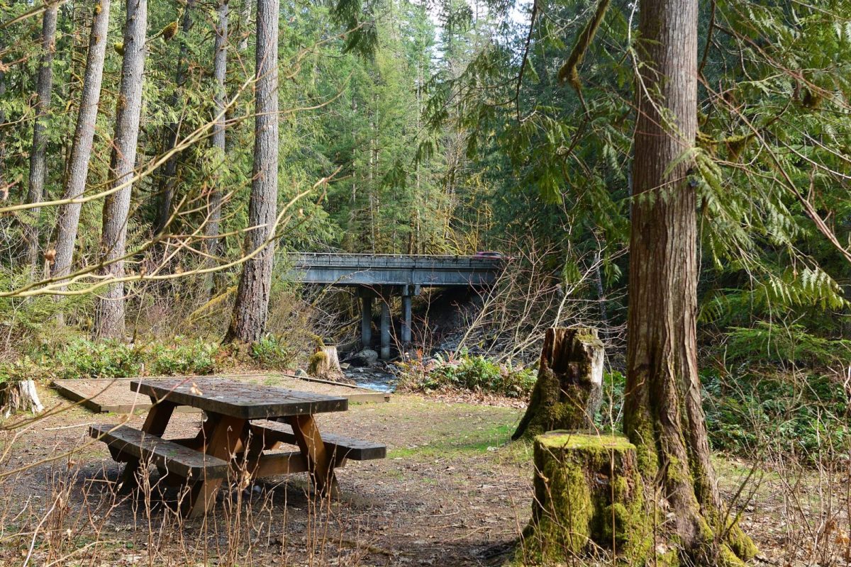
Mt. Baker Ski Area is 52 miles from Bellingham via SR 542, about 90 minutes. Mile-by-mile stops, where to fuel up, and what changes once winter hits.