How Far Is Mt. Baker from Bellingham? Drive Times and Route Notes
Mt. Baker Ski Area is 52 miles from Bellingham via SR 542, about 90 minutes. Mile-by-mile stops, where to fuel up, and what changes once winter hits.
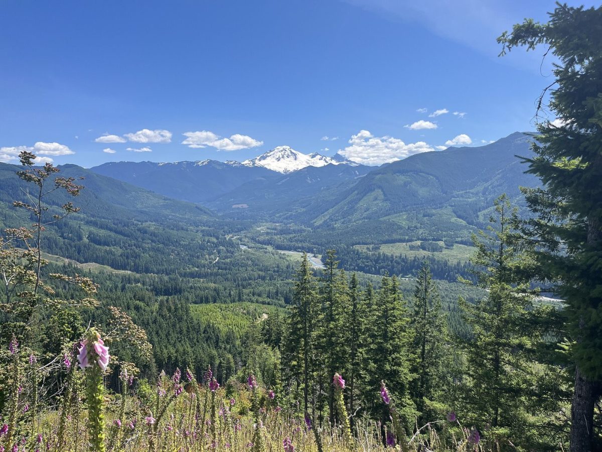
Mt. Baker Ski Area is 52 miles from Bellingham, about 90 minutes via I-5 Exit 255 and SR 542 east. Artist Point, at the top of the highway, is roughly 58 miles and takes a little longer given the climb. The entire drive is one road — there's no alternate route — so the only real variable is what you find along it and how winter weather changes the last stretch.
The route, mile by mile
Leave I-5 at Exit 255 and head east on SR 542, the Mt. Baker Highway. From there, the corridor's towns and landmarks stack up in a fairly even line:
| Point | Approx. distance from I-5 | Notes |
|---|---|---|
| Bellingham, I-5 Exit 255 | Start (MP 0) | Last full-service town — hospital, airport, all chains, gear shops |
| Nugents Corner | ~10 mi | Nugents Corner Market & Hardware |
| Deming | ~15 mi | North Fork Brewery, Welcome Store, Nooksack Market Center — cheapest fuel on the corridor |
| Kendall | ~22 mi | Starvin' Sam's #15 Valero |
| Maple Falls | ~28 mi | Maple Fuels–Shell (last fuel before the mountain, closed Sundays), Crossroads Grocery, Mt Baker Visitor Center |
| Glacier | 34 mi | Last settlement before the ski area — Chair 9, Graham's, Wake 'N Bakery, Glacier Public Service Center |
| White Salmon base (ski area) | 52 mi | Base elevation 4,300 ft |
| Heather Meadows base (ski area) | 55 mi | Upper lot |
| Artist Point | ~58 mi | 5,075 ft, ~160-car lot |
Two things surprise first-time visitors on this list. First, Glacier and the ski area are not the same place — they're about 17 miles and 30 minutes apart, and plenty of people book a cabin near "Glacier" expecting to be steps from the lifts. Second, Maple Falls carries the last fuel stop before the mountain, and it's closed on Sundays — worth knowing before you're running low on a Sunday drive up.
What 52 miles actually feels like
The first stretch out of Bellingham is unremarkable highway driving through Nugents Corner and Deming. Past Maple Falls, SR 542 starts to climb and tighten as it follows the Nooksack River toward Glacier, and above Glacier it becomes genuinely mountainous: steep, winding, and two lanes the rest of the way to Artist Point. Ninety minutes is a reasonable estimate for the ski area in good conditions and normal traffic; add time in winter, at night, or on a powder-day weekend when the road is busier and the surface may be snow-packed.
Winter changes the math
Washington posts traction requirements by route and in real time rather than by a fixed winter schedule. Level 1 means traction tires are advised or required, except for 4WD/AWD vehicles with adequate tread; Level 2 requires chains except for 4WD/AWD; Level 3 requires chains for every vehicle, 4WD and AWD included. SR 542 above Glacier is unlit and often snow-packed in winter, and the standing advice is to carry chains regardless of what your vehicle can normally handle. Check WSDOT's real-time alerts for SR 542 before you leave, not after.
The highway isn't immune to closures, either. A December 2025 atmospheric river eroded a 110-foot embankment near Wells Creek (MP 41) and damaged a section near O'Keefe Creek (MP 43), closing the highway completely around MP 35 for roughly a week and delaying that season's ski opening. It reopened December 21 with alternating one-lane traffic, then closed again for a planned five-day repair in early February before fully reopening February 6, 2026. None of that is typical for a given winter, but it illustrates why checking current status matters more here than it would on an interstate. Our road conditions guide covers how to check before you drive.
Fuel and phone signal
Fill up in Bellingham or Deming if you can — Deming's Nooksack Market Center has the cheapest gas on the corridor, and it's open until midnight. Maple Falls is your last chance before the mountain, but only 6 a.m. to 9 p.m. Monday through Saturday; it's closed Sundays entirely. Check mtbaker.us directly for current road and season conditions before you leave — snow report and closures change faster than any article can track. Cell service becomes unreliable past Glacier and effectively disappears further up the highway, so download directions and any cabin access codes before you lose signal. Our cell service guide covers coverage corridor by corridor if you need to plan around a call you can't miss.
Where this puts a cabin stay
If your plan is a cabin rather than a day trip, the 52-mile distance from Bellingham matters less than which of the corridor's communities you're staying in relative to Glacier and the ski area. Cabins in Glacier sit closest to the last services before the mountain, while communities further down toward Maple Falls trade a few extra minutes of drive for a quieter setting. Our complete lodging guide breaks down all five cabin communities against this same mile-by-mile stretch of highway, and our mile-by-mile SR 542 guide covers every stop along the way in more depth.
FAQ
How long does it take to drive from Bellingham to Mt. Baker?
About 90 minutes to the ski area (52 miles) in normal conditions, a bit longer to Artist Point (58 miles) given the additional climb.
Is there more than one route from Bellingham?
No — SR 542 from I-5 Exit 255 is the only road to the ski area and Artist Point. There's no alternate highway to choose between.
Are Glacier and Mt. Baker Ski Area the same place?
No. They're about 17 miles and 30 minutes apart. Glacier is the last town on the highway; the ski area is further up the mountain.
Where's the last gas station before the mountain?
Maple Falls, at Maple Fuels–Shell — but it closes on Sundays and runs 6 a.m. to 9 p.m. the rest of the week. Fill up earlier in Deming or Bellingham if your timing is tight.
Check WSDOT's real-time SR 542 alerts before any winter trip, and budget the fuel stop at Maple Falls into your schedule rather than assuming it'll be open when you need it.
*Written by the team at Stay at Mt Baker, who manage cabins in Glacier, Maple Falls,
Mt. Baker Rim, Glacier Springs, Snowline, Snowater and Silver Lake.
Last checked: August 2026.*